
FASTER (Fully Automated SysTem for Environmental monitoRing) is an autonomous system for aerial photography, thermography and remote sensing applications, suitable for ultralight aircraft and drones. The system makes it possible to acquire in real time images (in the visible and thermal) with processing (georeferencing, orthorectification, mosaicing) and archiving abilities. The system integrates a calibrated camera connected to a GNSS (Global Navigation Satellite System) position information acquisition and camera spatial orientation system, through a high performance inertial platform. Processing these data provides as output georeferenced and orthorectified images. Furthermore, it is possible to monitor air features and quality through gas sensors (CO, CO2, O3, SO2, particulate).
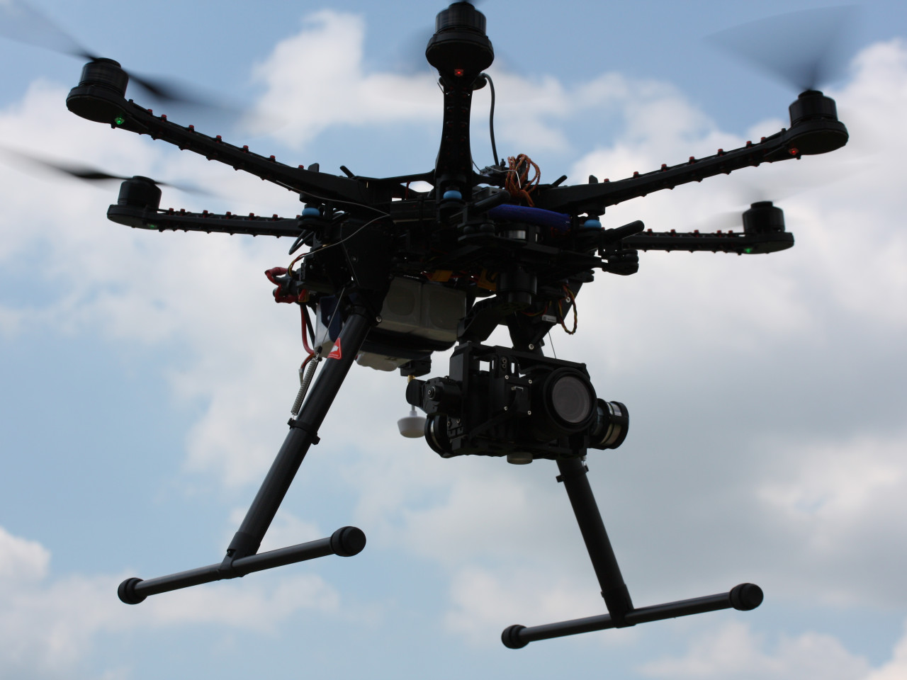 Drone for aerial photography
The system's flexibility is certainly its winning card. It may be installed on board an ultralight aircraft as well as on board a remotely piloted drone. The ability to plan the sequence of snapshots in flight makes the operator's work easier.
The system's applications are countless: cartography assessment of the health and ripening of crops precision farming analysis of the energy efficiency of buildings documentation of archaeological excavations and building sites.
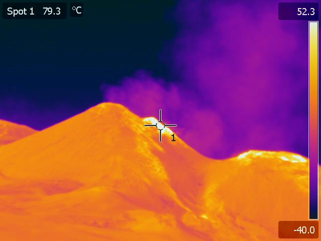 Etna Volcano, thermographic image
Documentation of archaeological excavations
Very often, what remains after months or even years of excavations, is some artefacts and above all, a lot of documentation. The time required to produce this documentation is equivalent to the time spent on the excavation. The techniques currently used to make documentation photographs of excavations (cameras tied to balloons or fastened to rods) are costly in terms of time and above all, they do not provide a satisfying end result. The experience of the last few months on a variety of archaeological sites nation-wide has highlighted the financial viability of using innovative aerial photography systems, based on small remotely piloted platforms. Aerial shots were successfully taken on a number of archaeological sites located throughout the country: pre-Roman and medieval sites (Basilicata), Etruscan (Umbria) and prehistoric sites (Romagna). Shots for advertising purposes were also taken at the CEPI company
University of Basilicata CNA of Forlì
The CIRI Aeronautics research group is seeking partners to explore other applicative settings, especially in the sector of precision farming.
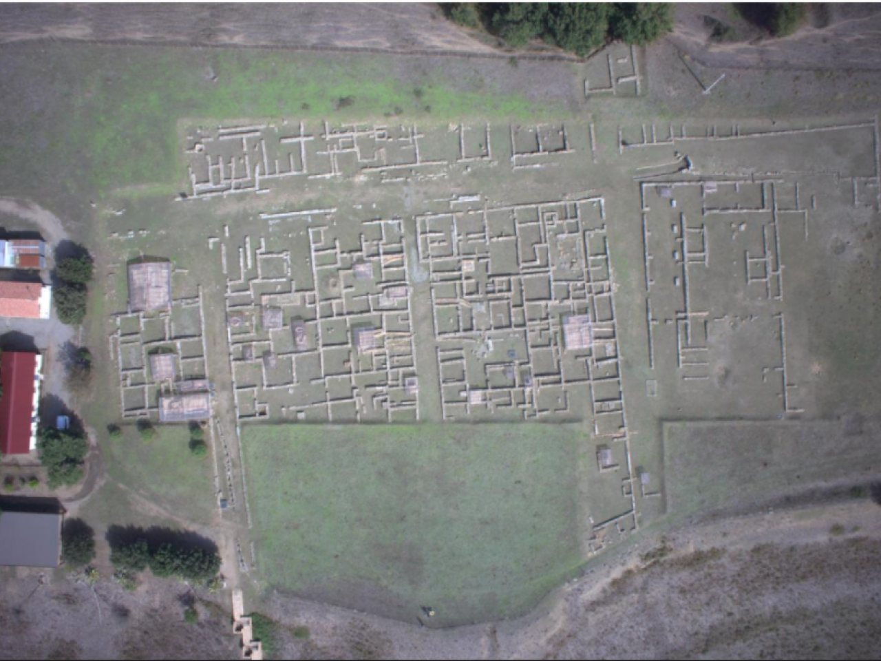 Ancient Greek city of Eraklea (Policoro)